A Malibu Fire Is Moving Fast. Here Is What Residents Need to Know Before the Wind Shifts

MALIBU: A wind-driven brush fire near Encinal Canyon Road has forced evacuation orders and warnings across parts of the western Santa Monica Mountains, giving residents another night in which the most important information may change faster than a social-media post can travel. CAL FIRE listed the Bryson Fire at 102 acres and zero percent containment in its Thursday evening update. The cause remained under investigation.
The official update identified evacuation orders for zones KAN-U017 and SYC-U016-A. Warnings covered several surrounding zones, including CRN-U019, LBO-U018, LEO-U015, MAL-C113, MAL-C114, MCR-U021-A, MLK-U020, SYC-U016-B, SYC-U016-C, SYC-U016-D, VST-U046 and WLV-C201. Those codes matter more than a neighborhood name because authorities can draw a boundary street by street. Anyone near the fire should check the live map rather than assume a warning applies to the house next door but not their own.

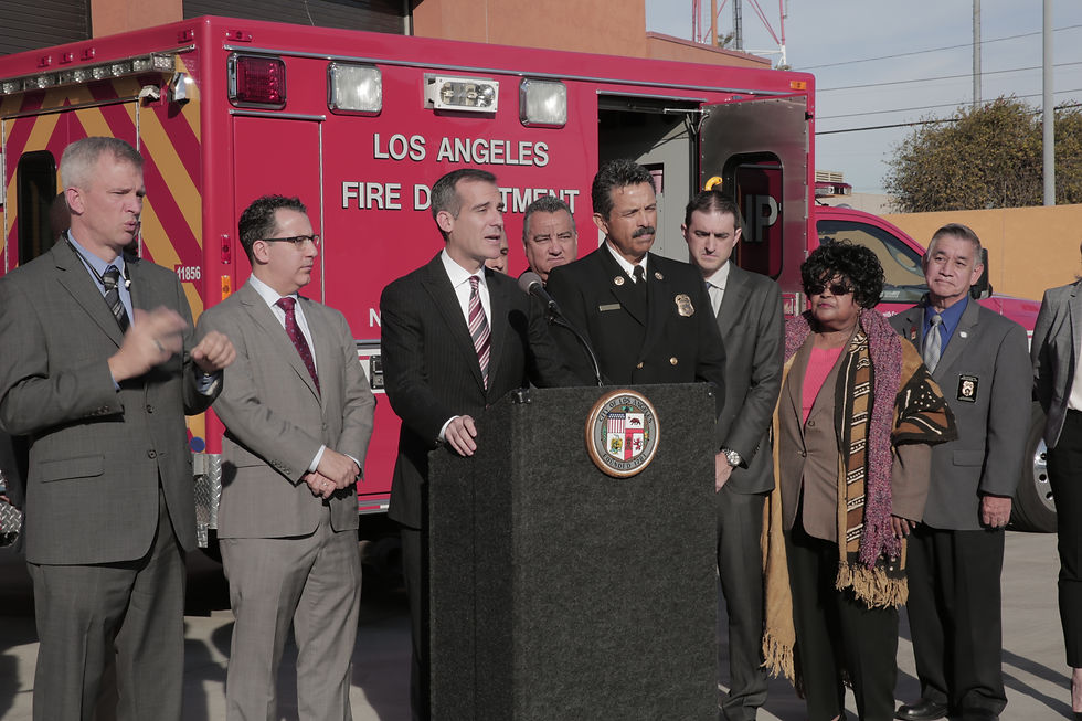
Malibu residents should use official incident maps and county alerts because evacuation zones can change quickly. Image: Ron Reiring / CC BY 2.0
An evacuation order means leave now. A warning means prepare to leave and be ready for the warning to become an order. People who need extra time, including older residents, families with small children, anyone with limited mobility and households moving animals, should not wait until traffic thickens. Los Angeles County emergency officials recommend signing up for local alerts and following instructions from fire and law-enforcement agencies.
The geography makes this kind of fire especially difficult. Encinal Canyon runs through steep, dry terrain where narrow roads can become crowded quickly. Wind can carry embers ahead of the visible flame front, creating new spots that make yesterday’s safe route less dependable. Darkness adds another layer of risk because smoke can hide road edges, fallen branches and emergency vehicles.
Residents who are still home should put medications, identification, chargers, water, sturdy shoes and essential documents in one place. Keep the car facing out if that can be done safely, and avoid parking in a way that blocks a fire engine. Close windows and doors before leaving, but do not spend precious time trying to defend landscaping or collect replaceable belongings once an order has been issued.
Pet owners need a separate plan. Carriers, leashes, food and vaccination records should be ready before an animal senses the commotion and hides. Large-animal owners should move early because trailers take time, road space and a safe destination. County alerts may identify temporary shelter locations, but capacity can change as an incident grows.
Smoke can travel well beyond the evacuation area. Fine particles can aggravate asthma, heart disease and other conditions even when flames are not visible. Keep indoor air as clean as possible, run an appropriate filter if available and avoid strenuous outdoor activity when the air smells smoky. An N95 respirator can reduce particle exposure when worn correctly, although it does not protect against every gas in wildfire smoke.
The fastest-looking information is not always the best information. Scanner clips, neighborhood group chats and dramatic videos can help people understand what is happening, but they may lack a location or time stamp. Use CAL FIRE, Los Angeles County emergency alerts and the agencies named in the incident command for decisions about leaving or returning. A screenshot from an hour ago can become dangerously obsolete.
Southern California crews were also responding to other fires during the same period, stretching public attention across several locations. That is another reason to confirm the incident name before sharing a map or road closure. The Bryson Fire is the incident near Encinal Canyon in Los Angeles County; information from a different fire can send readers toward the wrong evacuation boundary.
A small acreage figure should not create false confidence. In brush country, the question is not only how many acres have burned but where the perimeter sits in relation to homes, roads and the wind. Containment describes the portion of the fire edge crews believe will hold. It does not mean the remaining area is safe, and zero percent containment does not mean firefighters are doing nothing.
The safest approach is simple: know the zone, keep the phone charged, prepare before an order and leave when officials say to leave. CityLA will update this story when a material official change is confirmed. Until then, residents should treat the live incident map and county alerts as the source of truth, not any headline, including this one.


Comments